Now Closed
On view in the Michael L. and Carolyn C. McNamara Gallery
This exhibition has been generously funded by Rex and Pat Lucke.
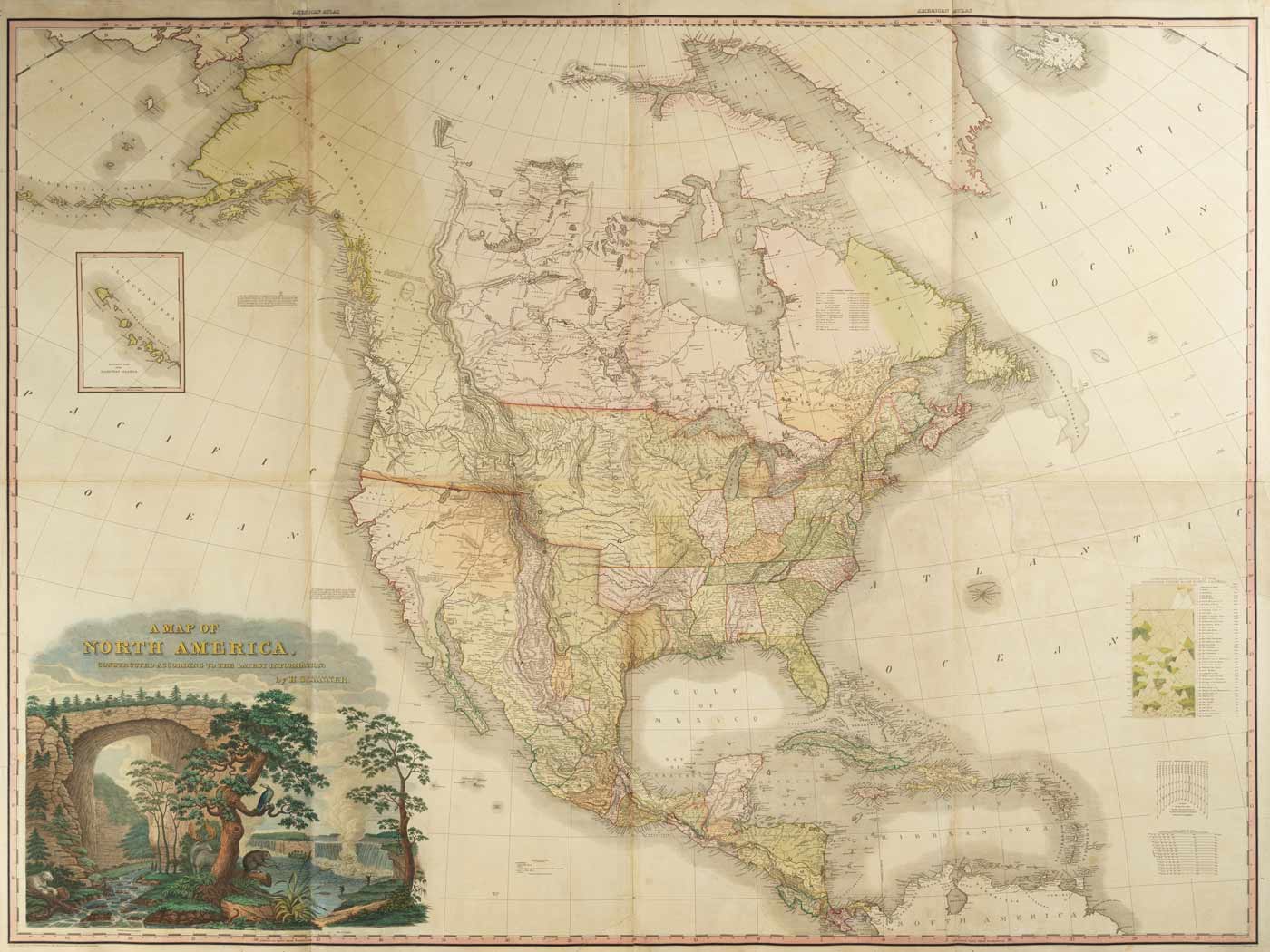
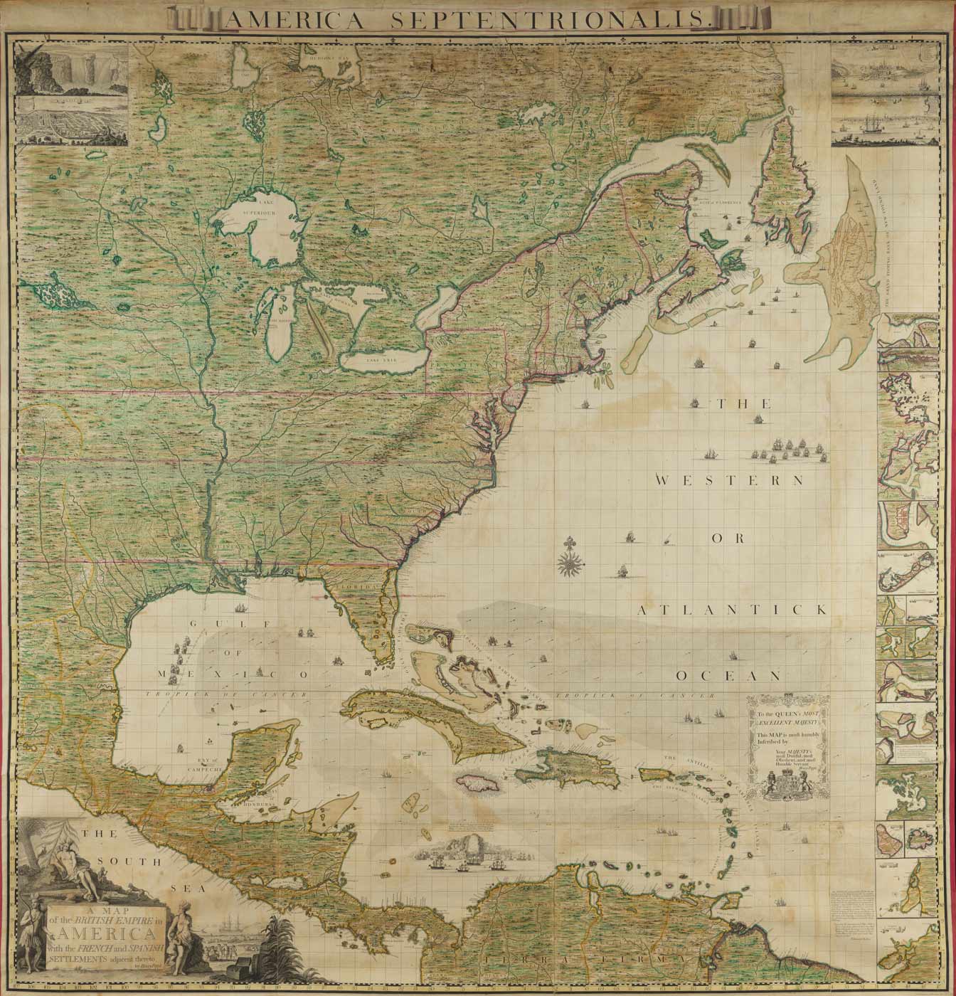
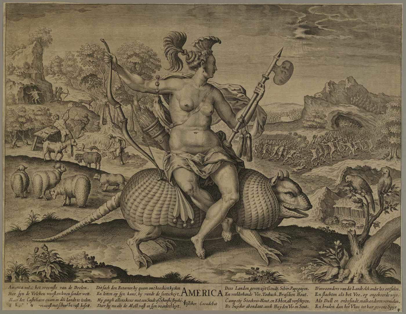
From England’s first attempts to colonize America, artists and mapmakers created impressions of the New World that fueled European imagination. Maps served as powerful propaganda tools for colonial expansionists eager to convey the richness and abundance of the land and its inhabitants, often representing America as a latter-day Garden of Eden. Initially, mapmakers incorporated iconographic images of America’s flora, fauna, and native population within the decorative elements on their maps to promote the promise of a good and prosperous life in the New World. This exhibition features works that range from a 17th-century map depicting the “new World” as a literal Garden of Eden to maps celebrating the newly established United States of America.
EXPLORE ONLINE
Explore this Exhibition Online
Explore and search our Online Collections to learn more about The Colonial Williamsburg Foundation's vast collections.
Learn More